Purplelink

Vancouver

The skyline across False Creek, the seawall at Stanley Park, and the North Shore mountains over Burrard Inlet.

Stanley Park's seawall, finished in 1980 after 63 years of work, runs for about nine kilometres.

Stanley Park covers about 405 hectares and is ringed by a seawall of roughly nine kilometres, which is the easiest way to see the skyline from the water. Across Burrard Inlet, Grouse Mountain and the other North Shore peaks stay in view most of the day.

The six photographs here were made on 18 April 2026, when the cherry trees were in flower.
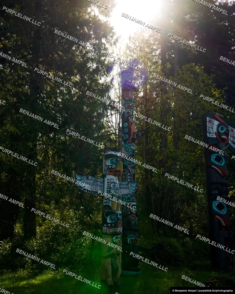
Vancouver, Canada - April 2026: Sunlit totem poles rise above the forest at Stanley Park's totem pole exhibit.
Carved totem poles backlit by sunlight in Stanley Park, VancouverLicense
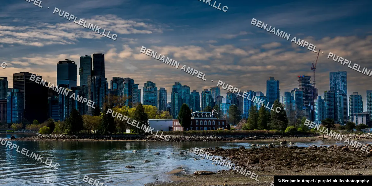
Vancouver's downtown skyline rises beyond a rocky low-tide shoreline and a historic red brick building near Stanley Park.
Vancouver downtown skyline viewed across the water from Stanley ParkLicense
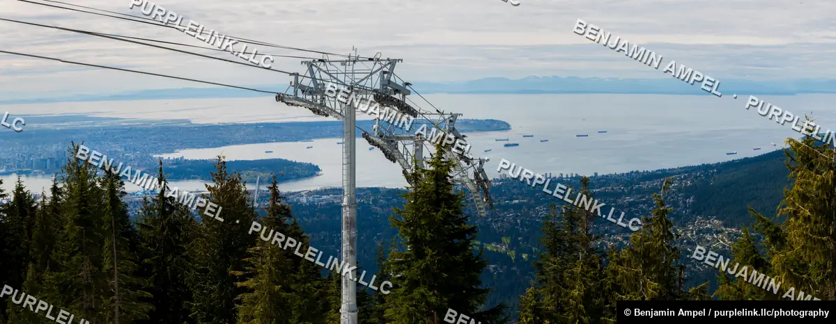
A gondola cable and support tower frame a wide panorama of Vancouver, English Bay, and anchored cargo ships from a mountainside.
Panoramic view of Vancouver and English Bay from a mountain gondolaLicensePrint
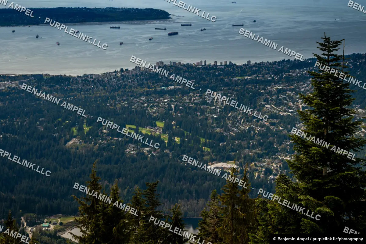
Evergreen treetops frame a distant view of Vancouver's skyline, harbor, and anchored ships from a mountainside overlook.
Vancouver skyline and harbor seen through evergreen treesLicense
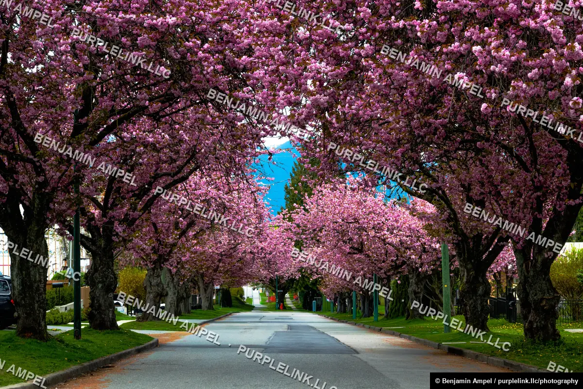
Cherry blossom trees form a blooming pink canopy over a quiet residential street in Vancouver, Canada.
Cherry blossom trees forming a canopy over a residential streetLicense
Vancouver, Canada - April 2026: A visitor poses for a photo with a grizzly bear grazing behind a wire fence at the Grouse Mountain wildlife refuge.
Visitor poses with a grizzly bear at a Vancouver wildlife refugeEditorial use: ask